
Moss Lake
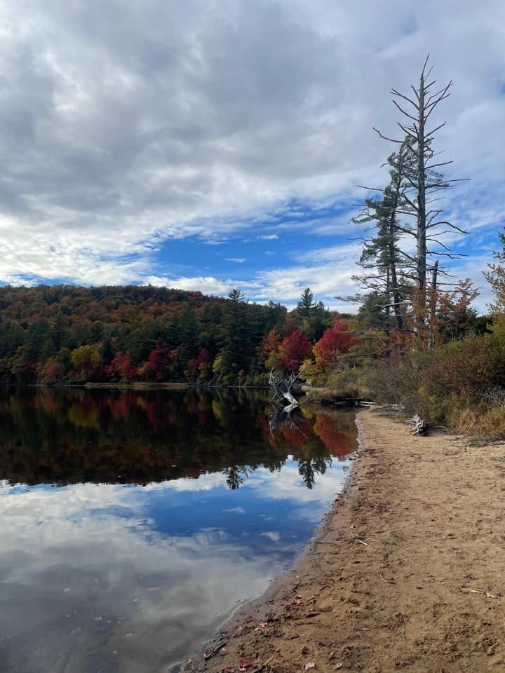
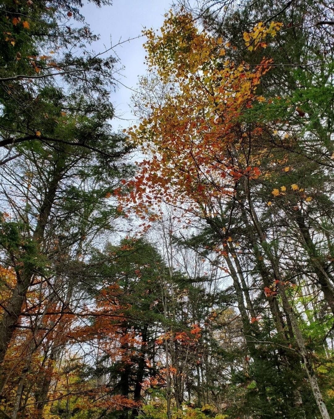
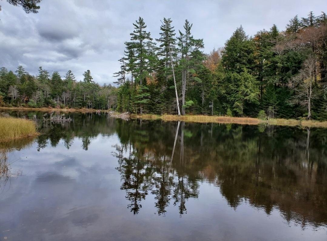
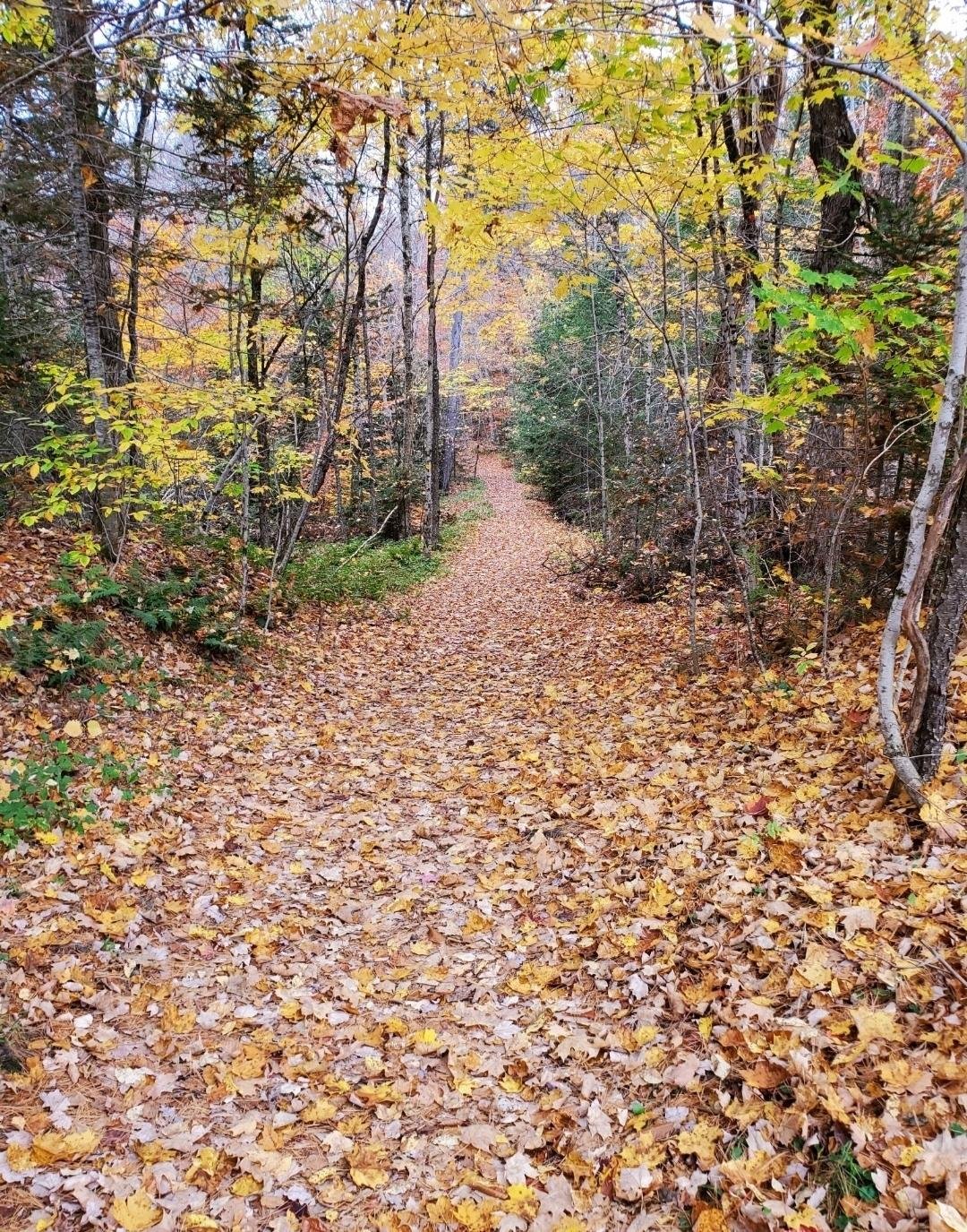
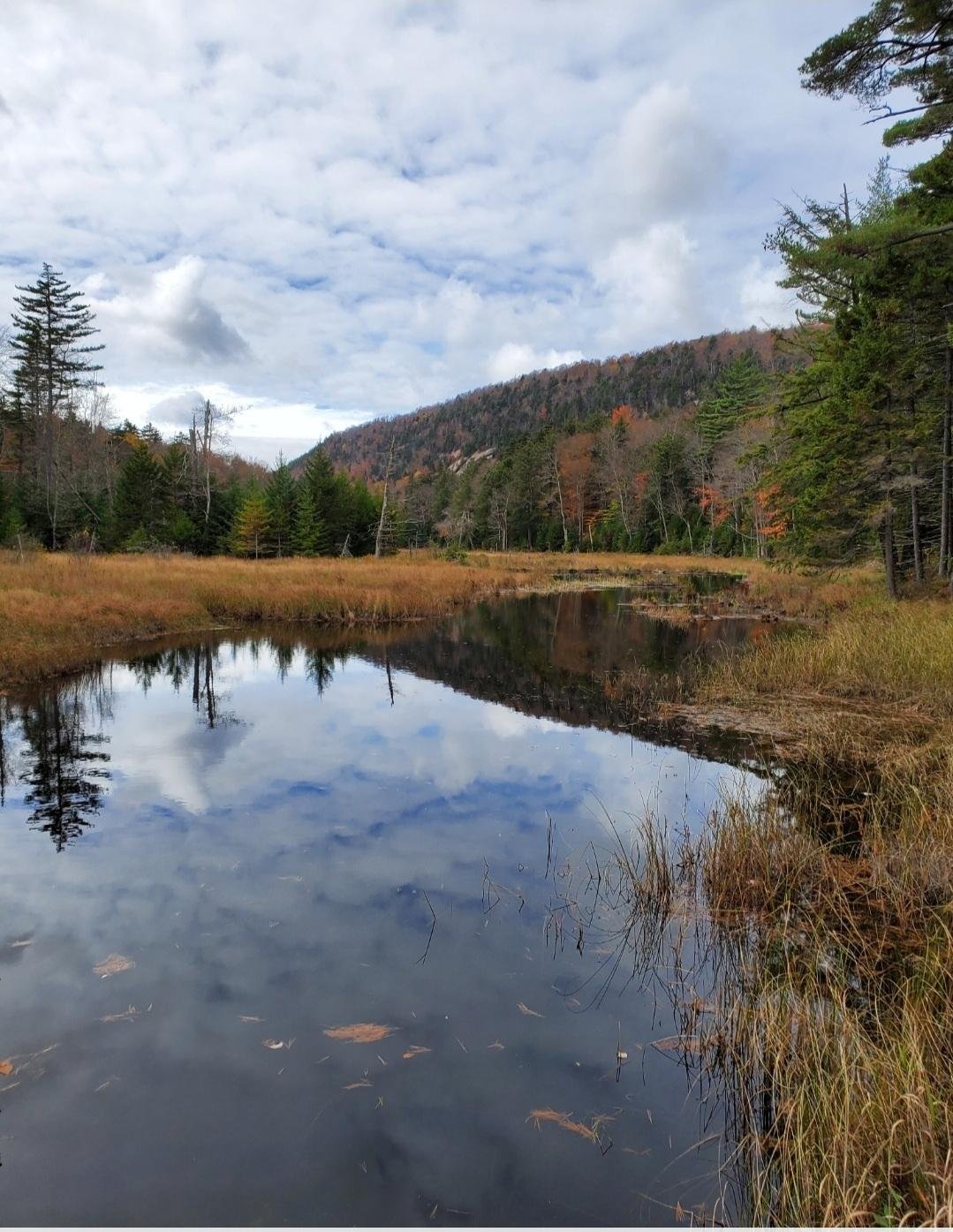
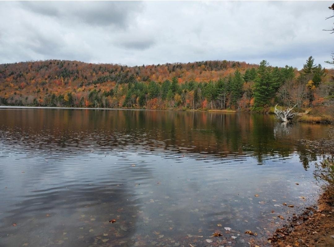
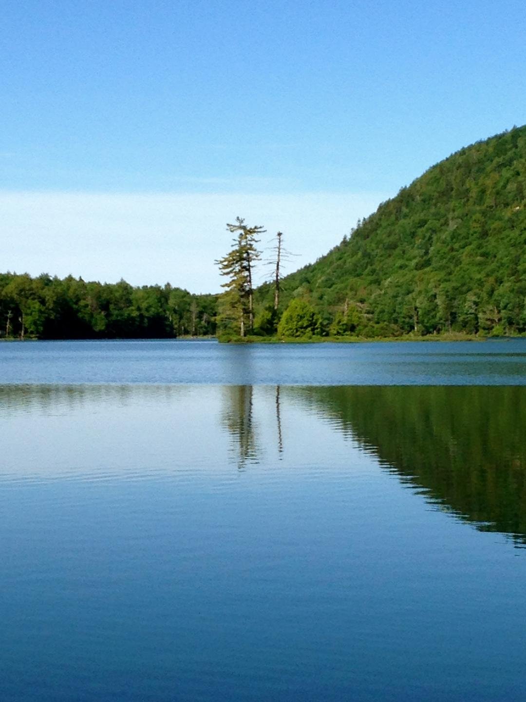
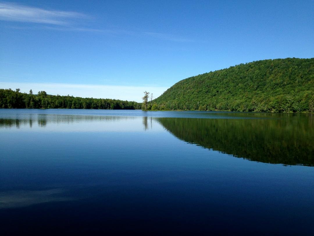
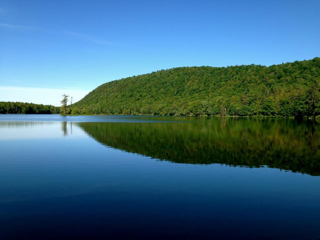
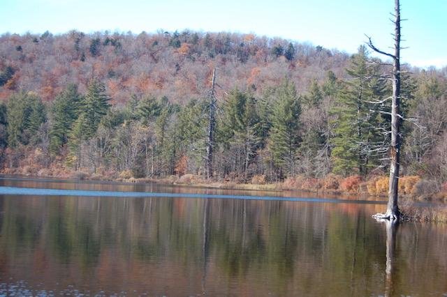
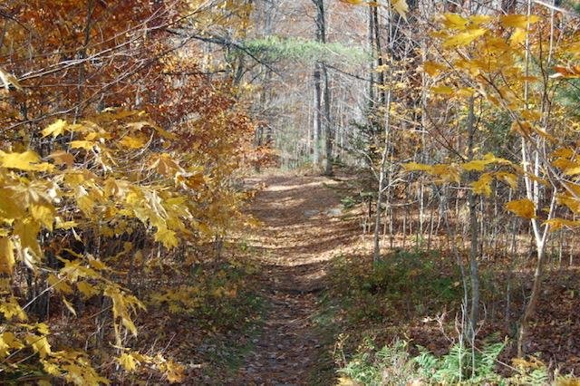
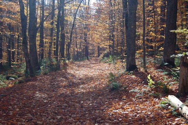
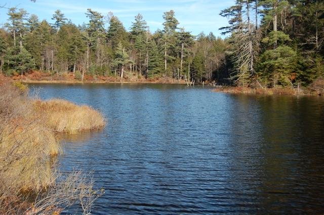
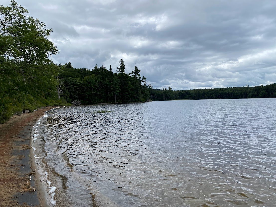
For those who prefer to hike a flatter trail, Moss Lake might be the perfect hike for you! The trail is a 2.5-mile loop round Moss Lake with various camp sites that offer better lake views for those of you dying to see the water! The trail rolls up and down throughout the entire hike with a maximum elevation gain of only 150 feet. If you are looking for a quick sneak peek, there is a tenth of a mile trail that leads directly to the lake from the parking lot. (See more pictures below!)
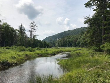
It is suggested to hike counterclockwise along the loop. If you do so, you will quickly come across several camp sites where you can get a nice view of the lake. There is also a a wildlife viewing platform that overlooks Moss Lake. Along the loop are several small bridges with running water that offer nice views and places to stop for pictures. On the trail you will also come across a place where you can go on to Sis and Bubb Lakes if you so choose. The outlet for Moss Lake flows into the North Branch Moose River.
If you want to carry in a canoe or kayak, you are welcome to paddle and fish on Moss Lake. (There is no ice fishing allowed on this lake.) It is also a popular place for bird watchers and families with young children. Mountain bikes are allowed on this trail as well as horseback riders. In the winter, people will often snowshoe or cross country ski there.
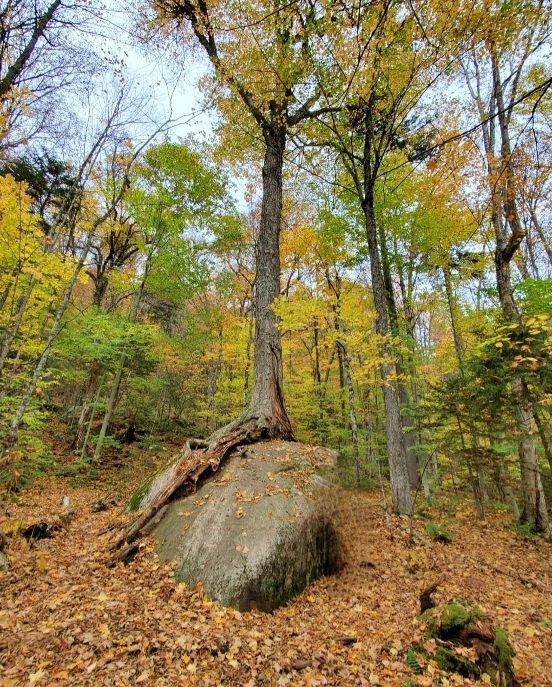
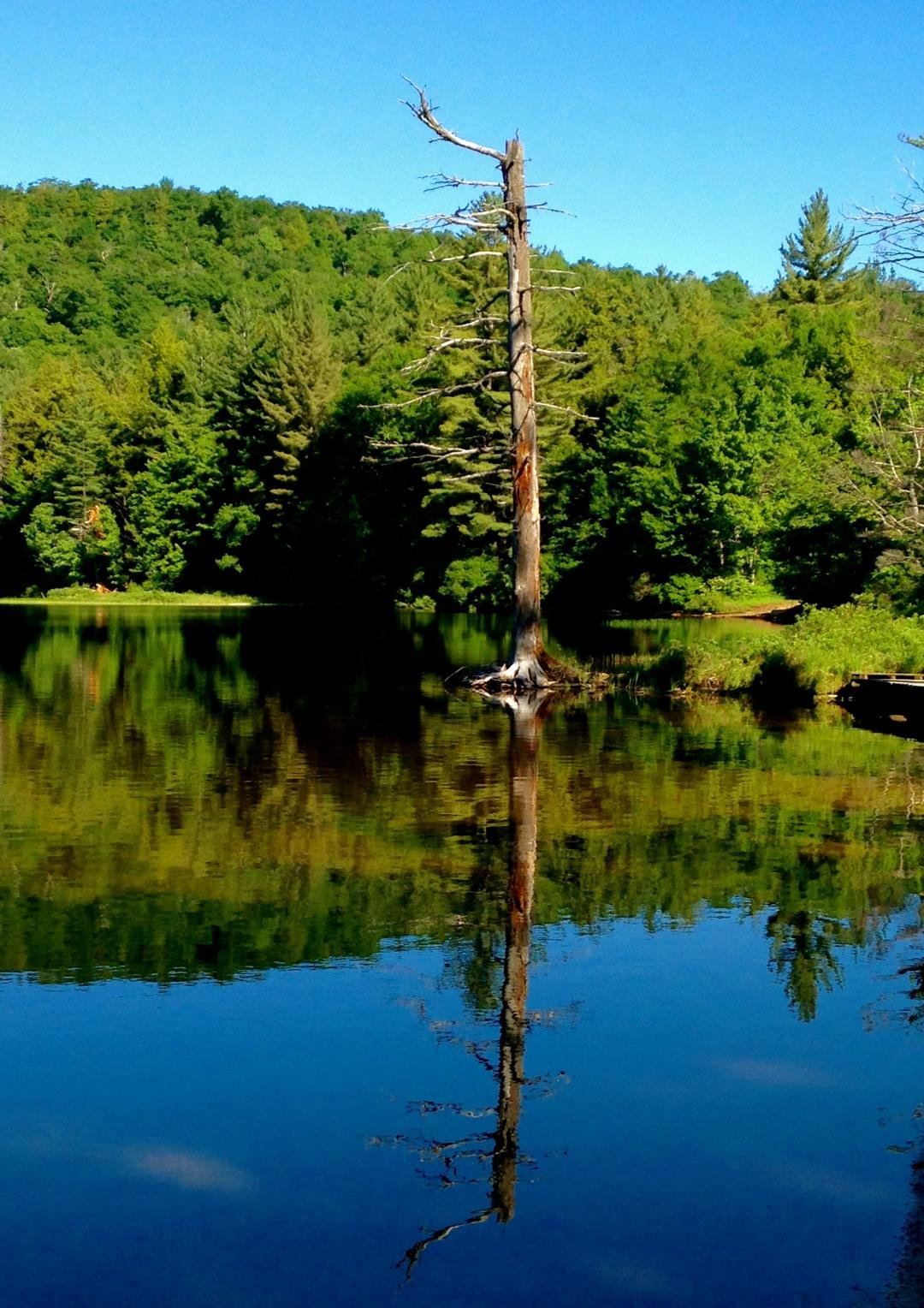
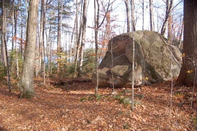
Some statistical facts about Moss Lake include the shore length is 2.3 miles, the average depth is 19 feet with the deepest section measuring in at 50 feet. There is one island in Moss Lake and about .7 miles into the trail, there is a large tree growing out of a large boulder. It's very neat!
When you approach the entrance of the Moss Lake trail, there is a large informational sign hanging there. Here is what it reads:
"For half a century Moss Lake was the home of Moss Lake Camp for Girls. Between 1923 and 1972, nearly 3,000 girls attended this special haven developed and operated by Dr. George H. Longstaff. As the summer camp grew in prestige, many girls returned year after year, with some becoming counselors and staff.
By 1929, the 600-acre Camp consisted of three separate camps spread along the lake's northern and eastern shores. Designed for girls of different ages, each camp had its own sleeping bungalows, dining room, recreation hall, infirmary, archery range, dance studio, craft shop, fencing equipment, tennis courts, waterfront (for swimming, diving, canoeing, sailing, and water-skiing), and (at camp for oldest girls) a rifle range.
A centrally-located riding facility (on the east side of the Eagle Bay/Big Moose road access across from the Camp entrance) housed 40 horses, a blacksmith shop and three riding rings (for beginning and advanced equitation and jumping). Trail rides encircled the lake on a three-mile bridle path (now a footpath), with a spur to Bubb Lake.
With the summer's experience dedicated to making the greatest possible contribution to a camper's social and athletic development, the Camp engaged nationally-known specialists to teach each activity. Through this training, and through the inspira- tion of an Honor Girl Creed, campers gained selfconfidence, a sense of responsibility, and leadership qualities including respect for themselves, for other people, for their sports equipment, and for the environment.
In 1973, the property was sold to the Nature Conservancy, and in that same year the tract was acquired by the State of New York as part of the Adirondack Park Forest Preserve. From 1974 until 1978 the site was occupied by the Ganienkeh Mohawk Indians, who eventually moved their settlement north near the Canadian border. In 1979, the remaining buildings were razed by the Department of Environmental Conservation, once again returning the lake to its primeval condition.
The 3-mile trail around the lake is the former Camp's bridle path, built in 1924. "It is a pleasant ski in winter and hike in summer. It passes through several miles of first-growth forest on the north and west shore and only touches the lake edge at the outlet in the southwest corner. Just east of the Bubb Lake Trail junction, the trail follows atop a short esker ridge."

Annette Croffut Saule

Annette Croffut Saule

Annette Croffut Saule

Annette Croffut Saule

Annette Croffut Saule

Bernadette Sunshine

Billie Heacock Hagerty

Billie Heacock Hagerty

Carmel Priore Garlock

Christine Brownell Randle

Connie Stuven

Connie Stuven
Connie Stuven

Connie Stuven

Deb Daurio

Deb Daurio

Deb Daurio

Don Warner

Don Warner

Erin McDermott

Frank Carey

Jazper Polidori

Jazper Polidori

Jessica Cordell

Kathy Lamb

Kathy Lamb

Kathy Lamb

Kathy Lamb

Kelley Macisco

Linda Kautzman

Lisa Anderson Heintz
Marlene McIwain
Marlene McIwain
Marlene McIwain
Marlene McIwain
Marlene McIwain
Marlene McIwain

Maryellen Colomb Dodge

Maryellen Colomb Dodge
Matt Savage
Matt Savage
Matt Savage
Matt Savage

Matt Savage

Maureen Gorman

Maureen Gorman

Maureen Gorman

Maureen Gorman

Melissa Baker Short

Michele Morris

Michele Morris

Mike Lennon

Mike Lennon

Monica Massoud Buttimer

Monica Massoud Buttimer

Monica Massoud Buttimer
Monica Massoud Buttimer

Monica Massoud Buttimer

Monica Massoud Buttimer

Monica Massoud Buttimer
Raymond Wolf
Raymond Wolf
Raymond Wolf
Raymond Wolf
Raymond Wolf

Roxane Gifaldi

Roxane Gifaldi

Roxane Gifaldi

Roxane Gifaldi

Roxane Gifaldi

Roxane Gifaldi
Roxane Gifaldi

Roxane Gifaldi

Roxane Gifaldi

Roxane Gifaldi

Roxane Gifaldi

Ryan Kane

Ryan Kane

Ryan Kane

Shirley Arthur

Wendy Grandinette Morgan

Blake Taylor